Translated from English by gtranslate.io
Sidebar
manual:user_guide:maps_online
Table of Contents

Online Maps
Online maps are streamed from the internet so they need a proper connection. Locus Map provides around 150 online maps of various types from many providers. The most used ones are listed directly in the Map Manager, more can be added from Locus Store. Online maps are divided basically into three categories - base maps, partner maps and user maps.
Base maps
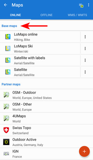 Default maps provided by Locus Map producer:
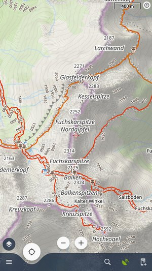
LoMaps online
- Zooms - 0-18
- Coverage - the whole world
- Usage - hiking, biking and other ordinary outdoor activities
- Source - OpenStreetMap data
LoMaps are completely free, they can be cached for up to 90 days and you can download them in offline packets from Locus Store.
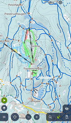
LoMaps Ski
- Zooms - 0-18
- Coverage - the whole world
- Usage - winter sports - cross-country skiing, downhill skiing, snowshoeing, etc.
- Source - OpenStreetMap data
Satellite

- Zooms - 0-18
- Coverage - the whole world
- Usage - aerial view, available with or without labels
- Source - HERE, Maxar, EuroGraphics data
Satellite maps can be cached for up to 360 days and can't be downloaded. Available only with Premium Gold
Partner maps
This category displays maps provided by our commercial partners. We provide outdoor maps by the world’s best cartographic publishers:
- USA&Canada - USGS classic/satellite, AccuTerra trail maps, BackRoad Map Books
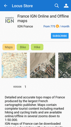
- Europe - Ordnance Survey (UK), Kompass, Outdooractive, Freytag&Berndt (Germany, Austria, Italy), IGN (France, Belgium), CNIG (Spain), Lantmäteriet (Sweden), Kortforsyningen (Denmark), PZS (Slovenia), Compass (Poland), Swisstopo (Switzerland), SHOCart (Czechia, Slovakia) and many others…
Not all maps are in the online tab. More can be added from Locus Store.
User maps
Advanced This category displays custom online maps added via a custom XML file. More info >>
Action menu

Each map offers an action menu:
 Details display all info about the map - available zooms, usage, coverage. etc.
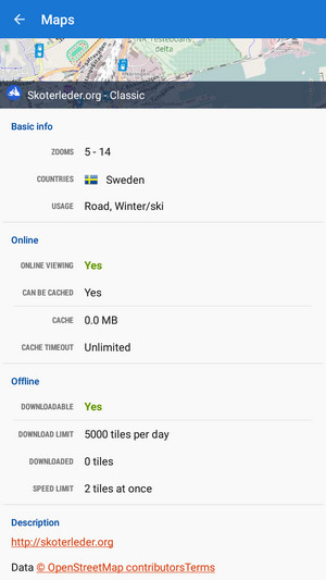
 Download launches online map download
 Set 'Cache timeout'(visible only for cacheable maps) defines validity time for cached map tiles in hours. When the validity time expires, Locus Map caches a new map tile.
 Clear Cache deletes all cached tiles in your temporary storage
 Pre-Paid (only for Wanderreit maps) displays a form to fill in the pre-paid Wanderreit map code
 Cancel subscription cancels your Wanderreit map subscription
  Hide removes map from the list. It can be shown again from the topbar menu Available maps.
Paid online maps
Some maps (e.g. Outdooractive online or IGN online) are accessible only for a subscription. After displaying their detail screen and confirmation you are prompted to purchase some kind of subscription - monthly or annually. The purchase is processed via Locus Store.
 After submitting the payment the access is open.
Online map download
Download of online maps for offline use is referred to in an individual chapter >>.
manual/user_guide/maps_online.txt · Last modified: 2024/01/18 15:19 by mstupka
Except where otherwise noted, content on this wiki is licensed under the following license: CC Attribution-Share Alike 4.0 International
