Translated from English by gtranslate.io
Sidebar
manual:user_guide:settings:points_tracks
Table of Contents

Points & tracks settings
Points
Point label
Available only with Premium
Sets its behavior and content after shifting the cursor on the point on the map:
- Never - nothing happens
- On hover - a label with the point name pops up
- Always - the label is permanently visible
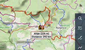
- Show elevation - the label contains also the elevation value
Enable POI grouping
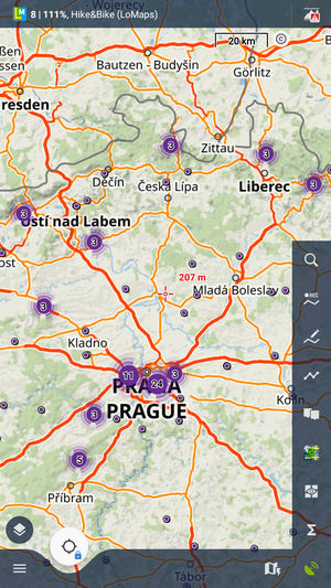
Displays a group symbol in higher map zooms on places with high density of selected points of interest for better map readability:
New point default location
When creating a new user point on the map you can choose one of the following default methods of location:
- GPS location - creates a point on the actual GPS location of the user
- Map screen cursor - creates a point at the actual position of the cursor in the middle of the map screen
Check POI duplicates
Prevents importing identical points of interest or geocaches. You can select if to check all imported points or or only points/geocaches in selected folders.
Point icon size
Sets size of icons on the map from 50 to 300% of a normal size:

LoPoints
Loading mode
Here you can select if you want to use online LoPoints, offline LoPoints (integral part of LoMaps) or both:
- Automatic - the app switches modes automatically depending on the availability of the data
- Online only - only LoPoints streamed from the internet are displayed
- Offline only - only LoPoints from downloaded LoMaps are displayed
LoPoint icon size
Here you can resize LoPoints above the map at 50% to 300% of their regular size.
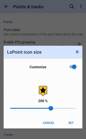
- turn on Customize
- set the new size
- tap SET
Tracks
Track label
Available only with Premium
Sets type of a track label displayed above the map. There are three options:
- Do not show - no label is displayed
- Simple - only track name or timestamp
- Complex - track name, length and elevation gain/loss
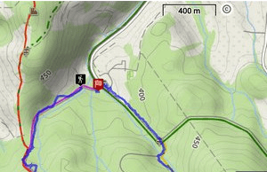
Track start/end icons
Select graphic symbols at start/stop of active tracks:
- No symbol
- Dot
- Icon
Track line style
Default general graphic settings for all tracks and routes across the whole app. The link opens the style editor >>
The general line style can be overwritten by folder style, track recording style, route planner style etc. More info >>
Route warnings
Here you can configure whether you want to display warnings of various pitfalls on the route and on what conditions. You can display or hide the warnings in three places:
- on the map
- in the route planner
- during navigation
Distance markers
Available only with Premium
Turns on the labels marking distance along tracks and routes.
Show navigation commands on map
Turns on/off on-hover displaying of turn shapes on the navigation points:

Ovewrite exported data
Allows overwriting files that have been already exported.
manual/user_guide/settings/points_tracks.txt · Last modified: by mstupka
Except where otherwise noted, content on this wiki is licensed under the following license: CC Attribution-Share Alike 4.0 International
