Translated from English by gtranslate.io
Sidebar
manual:user_guide:points:about
This is an old revision of the document!
Table of Contents

About Points in Locus Map
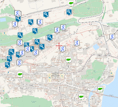
Points in Locus Map, often referred to as Points of Interest or abbreviated POIs are georeferenced information packages displayed above the map. In Locus Map, there are two main categories of POIs:
- User Points
- LoPoints
User Points
This category of points is handled as independent on map and is added to the app by Locus user. These points can be downloaded from database sources around the world (e.g. geocaches from Geocaching.com) or imported from your device. They can be created on the spot or photographed. They are managed in the Points manager, can be stored in folders, grouped, sorted, filtered and edited in many ways.
These points are referred to across the application as just “points”.
LoPoints
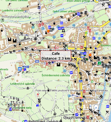
The other category of points are an integral part of LoMaps. They are a direct output of OpenStreetMap database and carry a lot of information about almost all point objects on the map, beginning with hill peaks, church monuments and other landmarks and ending with civil facilities like post offices, ATMs, gas stations etc. LoPoints can not be created, deleted, renamed or otherwise manipulated but you can be guided or navigated to them, you can share them, copy them etc.
- you can display LoPoints online or offline (when you have downloaded a particular offline LoMap)
- you can display them above any other map - just tap LoPoints in the content panel </WRAP>
manual/user_guide/points/about.1626359523.txt.gz · Last modified: 2021/07/15 16:32 (external edit)
Except where otherwise noted, content on this wiki is licensed under the following license: CC Attribution-Share Alike 4.0 International
