Translated from English by gtranslate.io
Sidebar
manual:user_guide:points:add
This is an old revision of the document!
Table of Contents

Adding New Points
To be updated soon…
User points of interest can be added to map several ways - by creating new points from scratch, by creating new points with some predefined parameters or by importing them from outside of Locus.
Default position
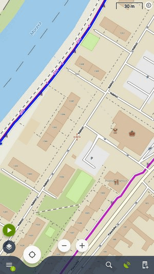
New points are automatically created on your actual GPS position. There is an option to create new points on position of the map cursor but you need to set it up in points settings >>.
Creating a new point
- tap Main menu > Points manager >
 >
>  New point:
 - adds a new point on map, all its other parameters are put in manually
... with a photograph
- tap Main menu > Points manager > >
 Photo-point:
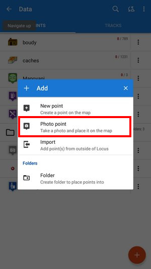 - launches the phone camera, after taking a photo the point is created and the photo is attached
... in a particular folder
- tap Main menu > Points manager > any folder >:
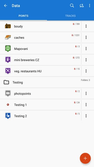 - creates a new point and stores it in the selected folder, all its other parameters are put in manually
... from an address
- Map screen > long tap on a selected place > tap in the bottom bar:
 - adds a new point at the selected place. The address and coordinates are automatically filled in the point detail dialog
... from a LoPoint
- Map screen with LoMaps > tap a [manual:user_guide:points:locus_maps_pois|LoPoint]] > tap in the bottom bar:
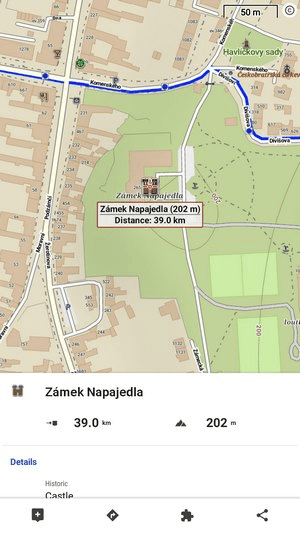 - copies all attributes of the map POI (name, short description, altitude, coordinates etc.) into a new point detail dialog
New points via Locus functions
![]()
... from search result
- Main menu/function panel > Search > tap a search result item > tap in the bottom bar:
 - fills all attributes of the search result in the point detail dialog.
![]()
... during track recording
-
- Add new point - adds a standard point on the track
- Add point (photo) - takes a photo and makes a point with a photo attachment
- Add point (audio) - records audio and makes a point with an audio attachment
- Add point (video) - shoots a video and makes a point with a video attachment
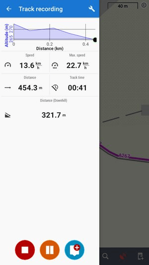 - adds waypoints on the recorded track:
Points created this way are “waypoints” existing only within the recorded track. Some point-related operations can not be performed with them, e.g. displaying them individually or copying them.
New point dialog
Basic info
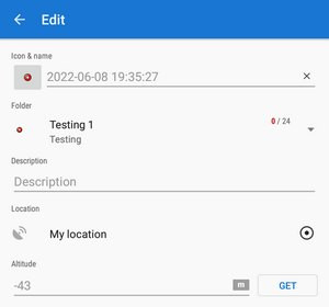
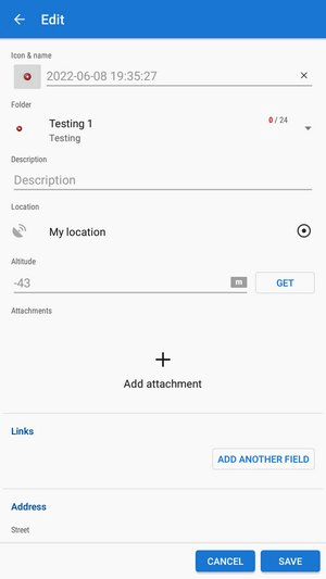
- Icon & Name - default new point icon is given by context. E.g. when you create a new point in a specific folder, the point has an icon of the folder.
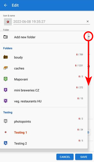
It can be changed - just tap and choose from selection of Locus and Garmin style. If you leave it as it is, no specific icon will be associated with the point and it may be changed when the point folder icon changes. The name is by default a time stamp for creating the point and can be edited too. Name is one of the main point identifiers so it is impossible to save a no-name point. - Folder - last used folder is pre-filled. It can be changed or a new folder can be created:
- Location - actual (or last fixed) GPS position is pre-filled. It can be changed by directly rewriting the coordinates or using
 Location selector >>
 - Description - optional socket for entering detailed information about the point
- Altitude - the height of the point above the sea level. If it is empty Locus Map can obtain it from offline elevation files Available only with Premium - tap Get.
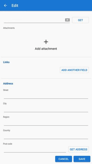
Attachment
Tap + and select the type - photos, videos, voice recordings, texts etc.
 See more in Point detail panel >>
Links
If you want to add e-mail, phone or URL, tap Add another field:
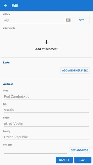
Address
The address of the point can be filled either manually or from online databases - tap Get address:
Don't forget to press SAVE after all edits!
manual/user_guide/points/add.1744376957.txt.gz · Last modified: by mstupka
Except where otherwise noted, content on this wiki is licensed under the following license: CC Attribution-Share Alike 4.0 International
